Solutions
- Home
- Solutions
Reliable Drone Technology Solutions for
Diverse Industries
RFLY’s comprehensive suite of drone technology solutions is strategically designed to cater to various industries, revolutionizing operational methodologies and driving unparalleled efficiency. These cutting-edge applications are tailored to address specific industry needs, providing transformative capabilities across sectors.

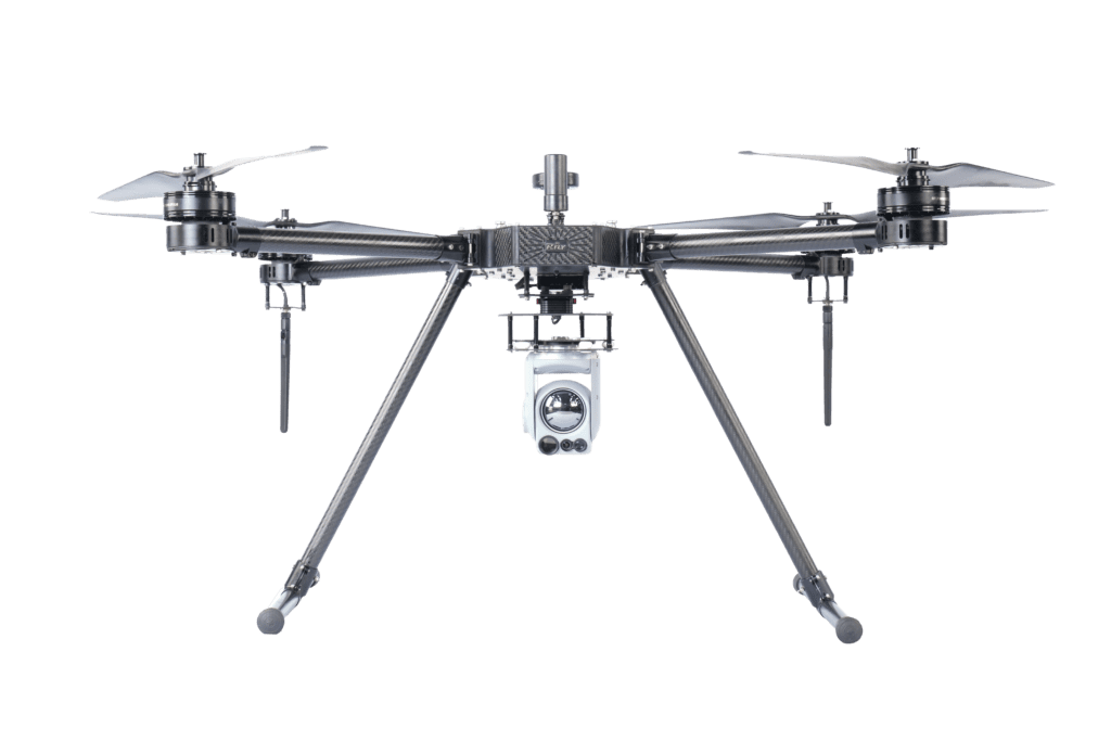
Defense and Homeland Security
RFLY’s drone solutions offer unparalleled surveillance, reconnaissance, and monitoring capabilities critical for defense and homeland security operations. Real-time data collection and analysis empower decision-makers, ensuring swift and informed responses to potential threats.

Oil and Gas
In the oil and gas sector, RFLY’s advanced drones conduct precise aerial inspections of pipelines, rigs, and facilities. These unmanned aerial vehicles are instrumental in enhancing safety protocols while optimizing maintenance processes.

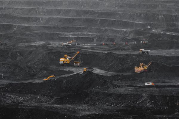
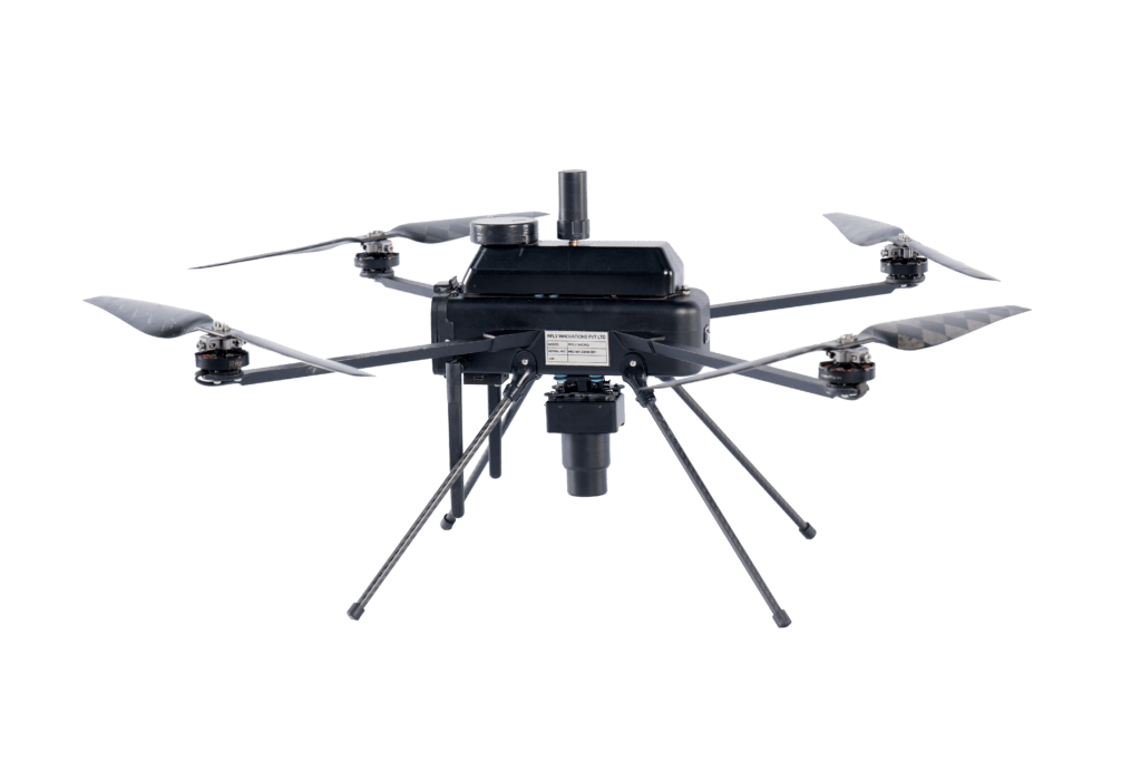
Mining
RFLY’s Drone technology plays a pivotal role in mining operations by conducting aerial surveys and mapping. These drones provide accurate terrain analysis, aiding in optimizing extraction processes and minimizing operational costs.
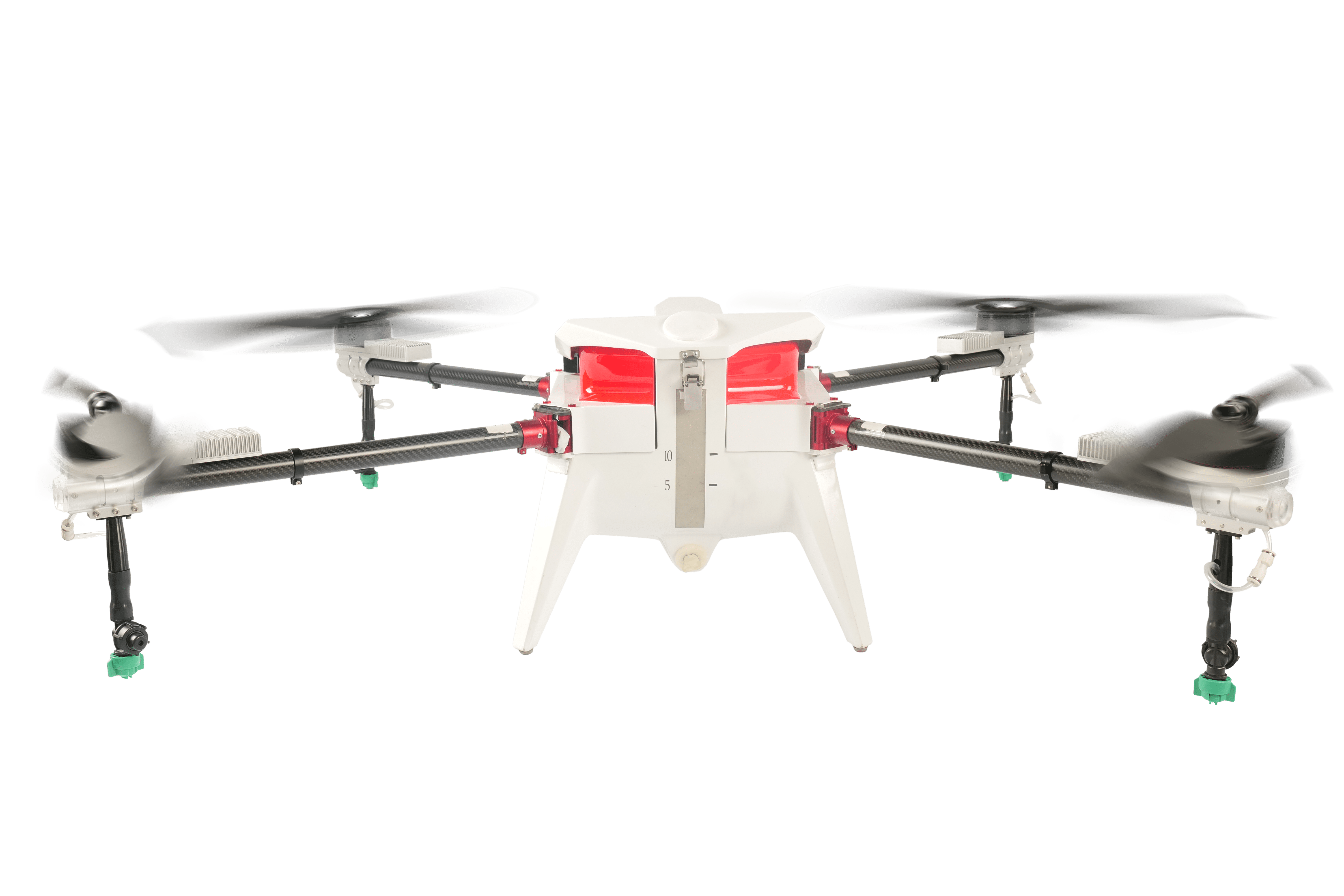
Agriculture
RFLY’s drones revolutionize agriculture by offering precision farming solutions. They enable farmers to access critical data such as crop health assessments, irrigation management, and yield predictions, thereby optimizing farming practices for increased productivity and sustainability.

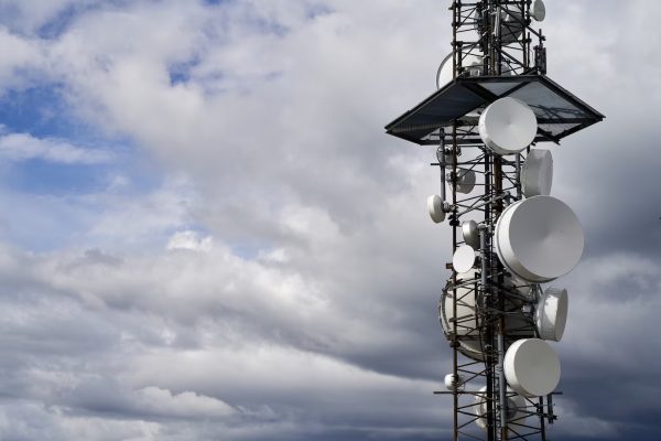
Telecom
In the telecommunications industry, RFLY’s drone solutions facilitate efficient infrastructure inspections, particularly for towers and antennas. These aerial inspections streamline maintenance processes, ensuring the uninterrupted functionality of telecom networks.


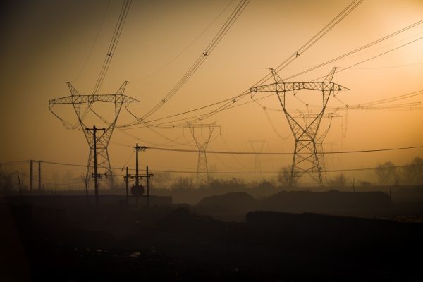
Energy and Utilities
For the energy and utilities sector, RFLY’s drone technology streamlines infrastructure inspections for power lines, wind turbines, and solar farms. These inspections proactively identify potential issues, ensuring operational reliability and contributing to a sustainable energy landscape.
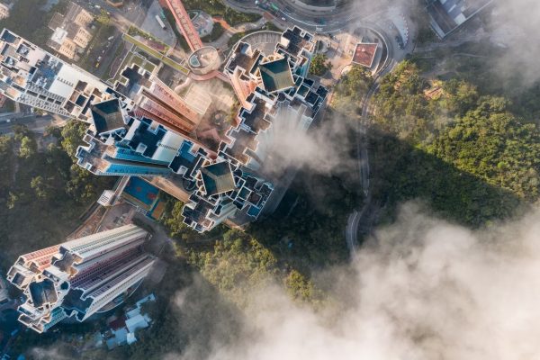

Industrial Security
RFLY’s drone solutions enhance industrial security by providing surveillance, monitoring, and response capabilities in industrial environments. This aids in improving safety protocols and mitigating risks across various industrial settings.

Construction and Infrastructure
RFLY’s Drones are reshaping the construction and infrastructure sectors by offering aerial surveying, progress monitoring, and site mapping services. These capabilities facilitate efficient project planning, monitoring, and evaluation, ensuring accuracy and efficiency in construction endeavors.

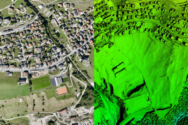
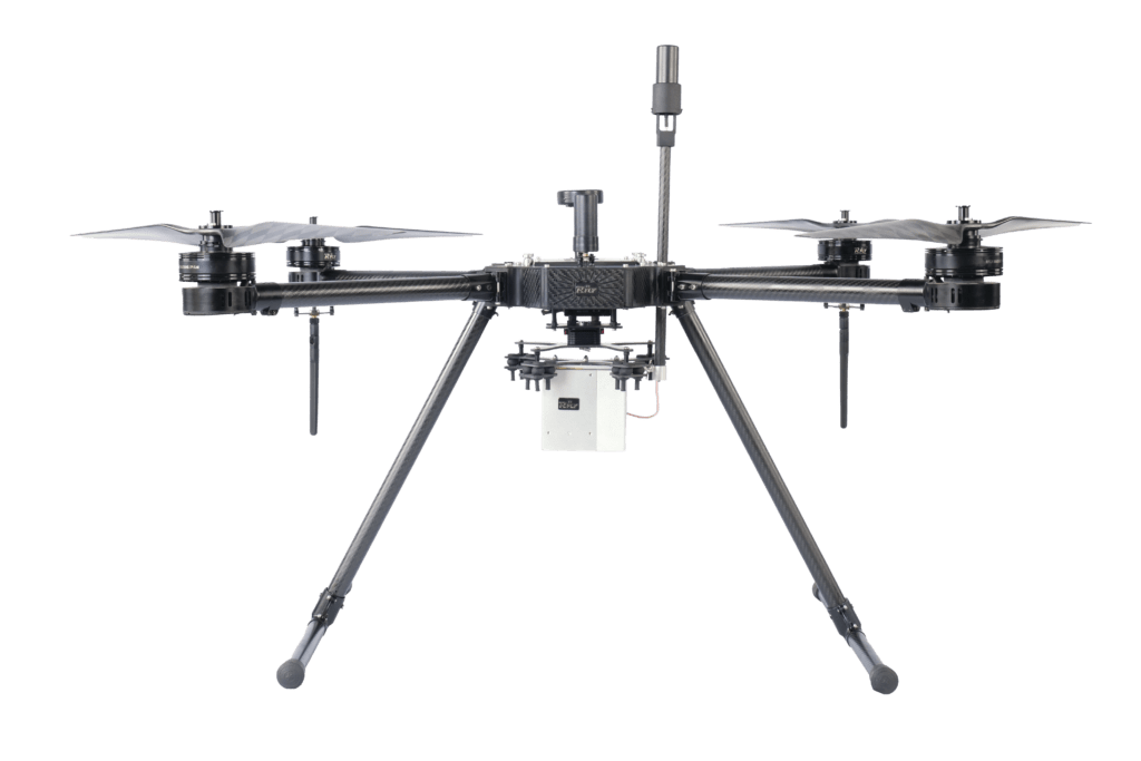
Mapping and Surveying
RFLY’s drone technology facilitates precise mapping and surveying services. Drones capture high-resolution imagery and data, enabling accurate mapping of terrains, construction sites, and infrastructure for comprehensive analysis and planning.

Disaster Response
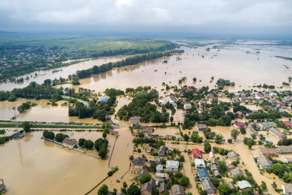
During times of crisis, RFLY’s drones play a crucial role in disaster response. They offer rapid aerial assessments of affected areas, aid in search and rescue operations, and provide real-time data for effective disaster management

Insurance and Risk Assessment
In the realm of insurance and risk assessment, RFLY’s drones provide valuable data for assessing property damages, mitigating risks, and expediting insurance claims. The aerial perspective enhances risk assessment processes and aids in informed decision-making.

