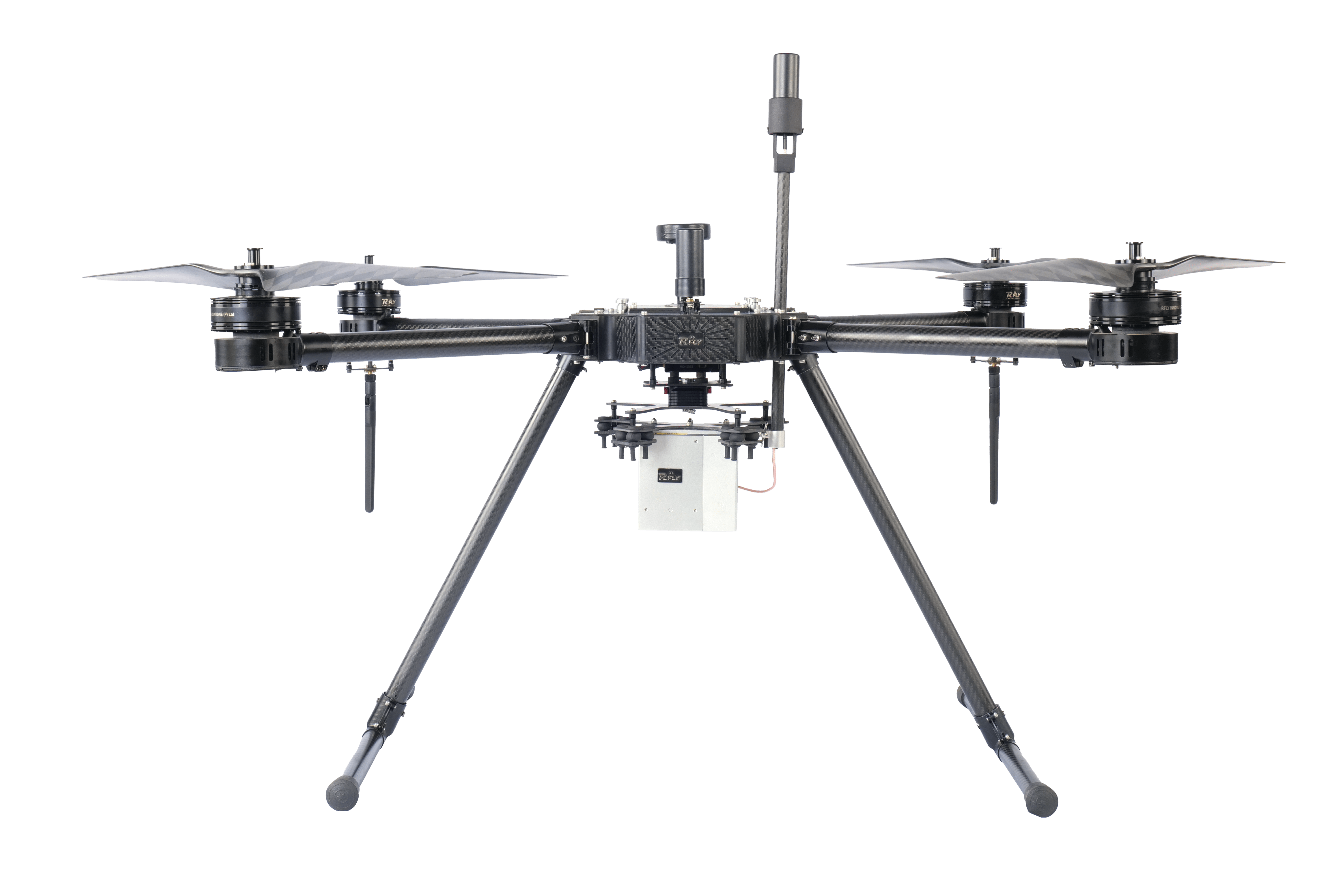
The RFLY PRO – L1 represents an exceptionally resilient and dependable aerial scanning platform, engineered for seamless mechanical and electrical integration of sensor system components into the aircraft’s fuselage…
RFLY – CRUZE, the pinnacle of efficiency and versatility in aerial technology. This fixed-wing hybrid VTOL drone combines agility with endurance, perfect for diverse surveillance and mapping needs…